

The north-east coast · Montrose to Cullen
The Doric Way
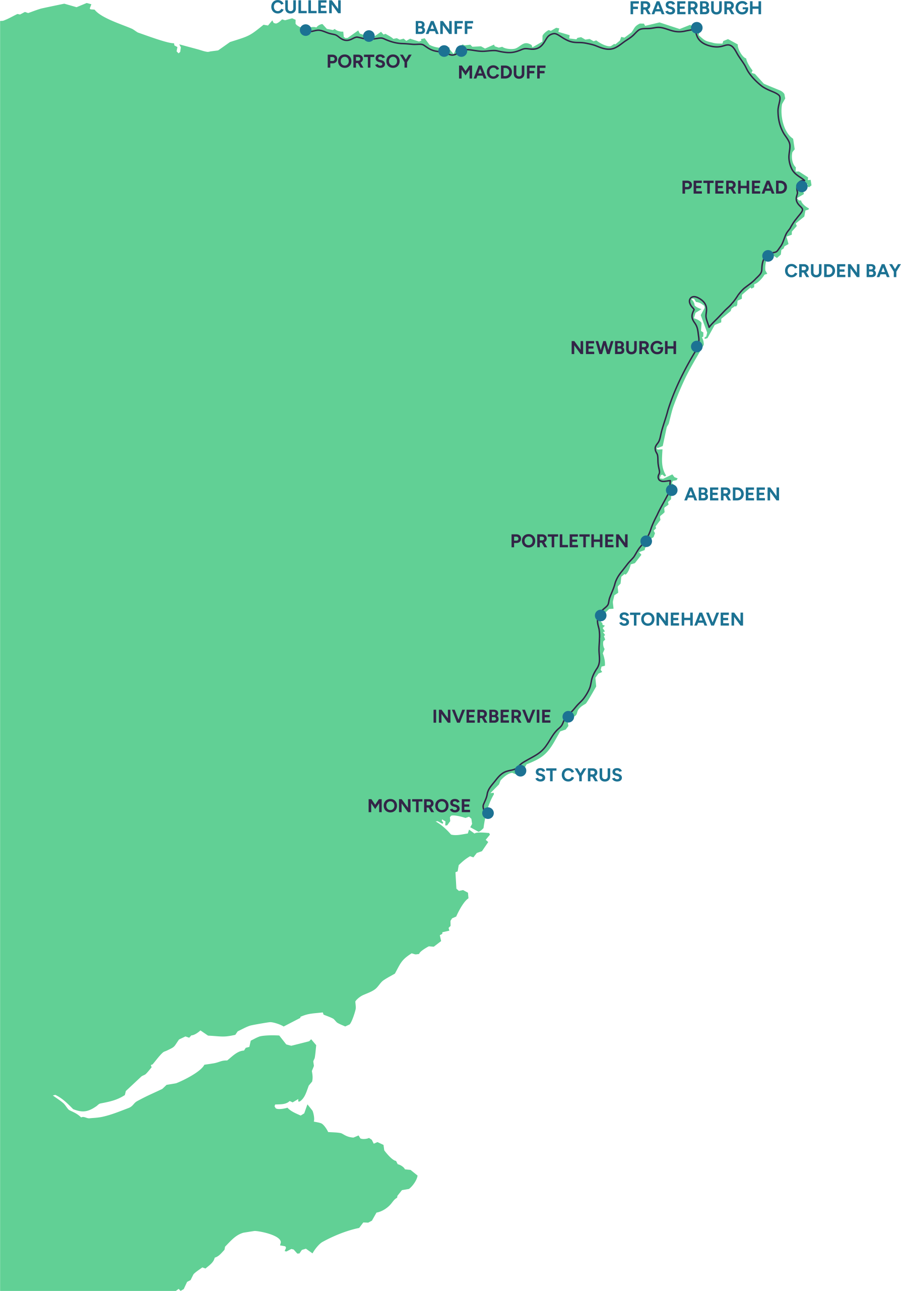
The Doric Way is a proposed 150-mile coastal trail between Montrose and Cullen, connecting more than 40 towns and communities along Scotland’s remarkable north-east coast.
We’re bringing existing paths, local trails and new connections together into one joined-up trail, shaped with landowners and land managers, communities, councils and local organisations.
We’re making this happen through practical improvements: better local connections now, a continuous coastal trail over time, and more opportunities to enjoy, understand and care for the coast.

02 · The route
Connecting what is already here
Much of the coast already has excellent paths, pavements, tracks, quiet roads and local trails. Many of these will form part of The Doric Way. We’re working to connect them, improve places that need attention and create new links where there are genuine gaps.
Every stretch has its own landscape, working life, wildlife, stories and Doric character. Local knowledge helps us understand what will work well on the ground and what each community wants to celebrate and prioritise.
Clear in some places
Some parts already offer strong, well-used connections that give us a sound foundation to build on.
Every improvement matters
A repaired path, clearer sign or better local link creates value in its own right while moving the wider trail forward.
03 · Benefits and evidence
What a connected coastal trail could make possible
The Doric Way is more than a path on the ground. We’re developing it as a long-term access, heritage and community project, creating lasting benefits for people, places and nature now and for generations to come.
It can make everyday walking easier, strengthen links between communities and help more people spend time outdoors. It can also support local cafés, shops, accommodation and attractions; create opportunities for volunteering and learning; celebrate Doric culture and coastal heritage; and help guide people around sensitive places with greater care.
To understand the scale of that potential, we worked with the University of Aberdeen on a socio-economic study in 2025. Its estimates show what a completed trail could contribute when better access, visitor activity and health benefits are considered together.
Access and wellbeing
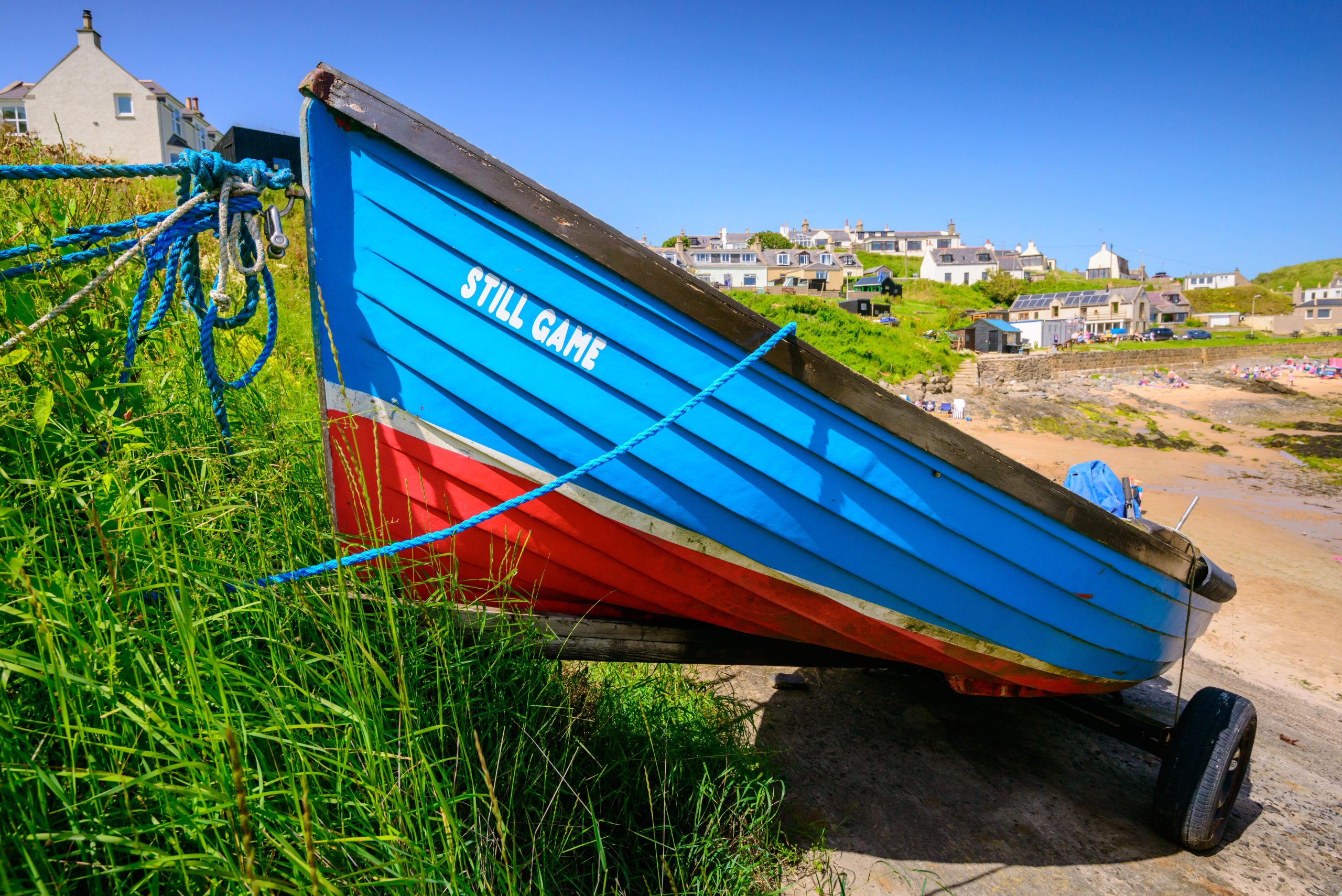
Better connected routes can make walking close to home simpler, support physical and mental wellbeing and improve links between neighbouring places.
Communities and enterprise
More people exploring responsibly can support coastal businesses, volunteering and year-round activity in towns, villages and harbours.
Nature, heritage and learning
Careful planning can protect sensitive places while opening up new ways to share wildlife, local history, working-coast heritage and Doric culture.
Source: University of Aberdeen socio-economic study, 2025. Figures are estimates, not guaranteed outcomes.
04 · A careful, practical process
How a section becomes ready to use
A route can look simple on a map, but there is a lot to work through before we can confidently promote it. These four steps help us make sure improvements are safe, responsible, sustainable and properly cared for.

We start with what is there
We look at existing paths, pavements, tracks and quiet roads, then identify missing links, unclear signage, poor surfaces and difficult road sections.
We listen before deciding
We speak with landowners and land managers, communities, councils and local groups about priorities, working access, wildlife and opportunities.
We assess the practical details
We consider safety, tides, gradients, surfaces, accessibility, land management and sensitive habitats, as well as the improvements a place may need.
We plan delivery and care
Funding, permissions, design, signage, visitor information and realistic long-term maintenance all need to come together before promotion.
05 · Explore our coast
Looking for places, events or local trails?
Our Explore Our Coast page brings together ideas for days out and longer visits, from beaches and wildlife to harbours, heritage and community events.
Explore our coast
06 · Responsible access
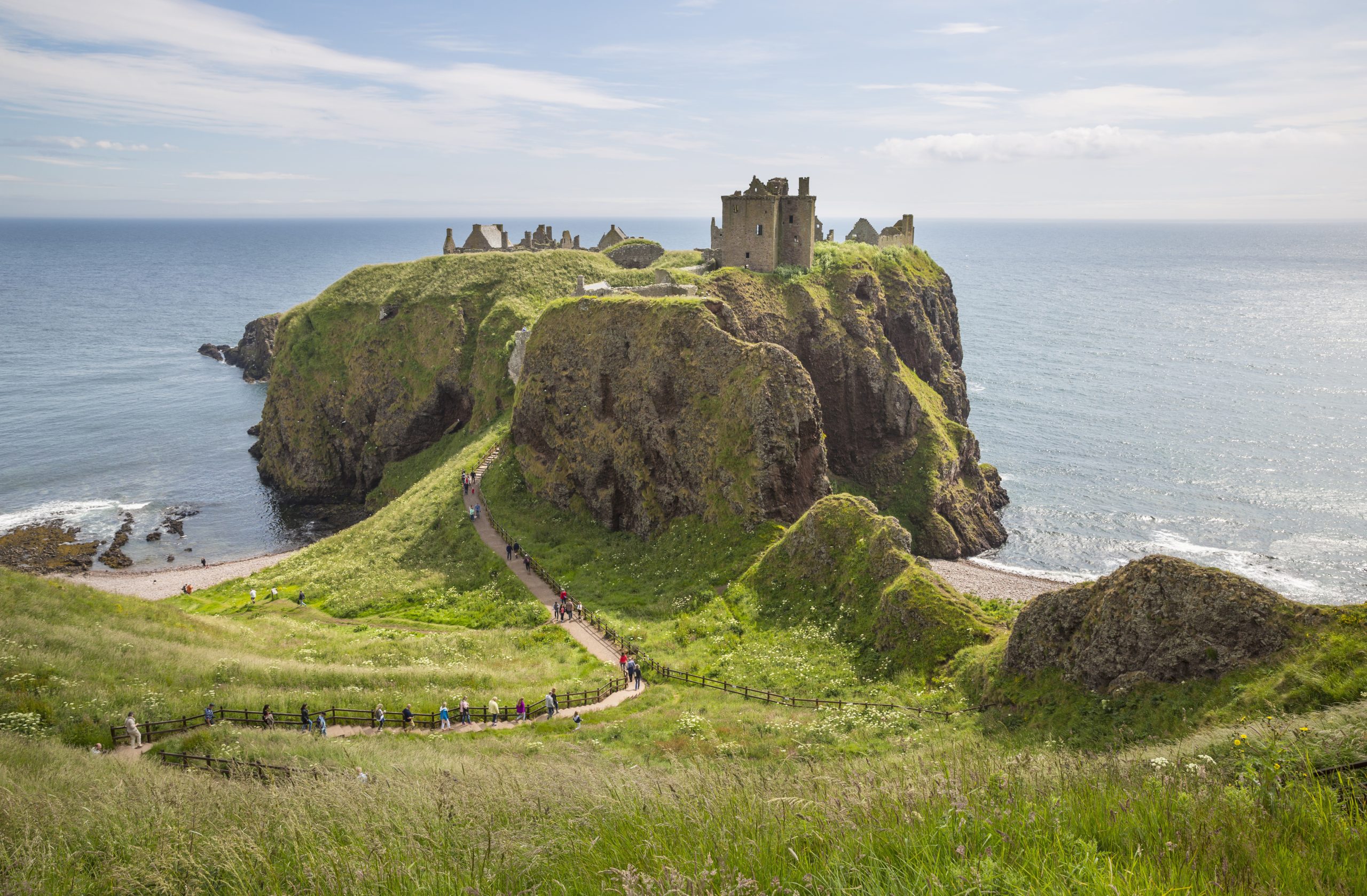
Enjoy the coast. Help us care for it.
Please check current local information before setting out and follow the Scottish Outdoor Access Code.
- Plan for weather, tides, daylight and changing ground conditions.
- Follow signs and diversions, respect working land and keep dogs under close control around livestock and wildlife.
- Leave no trace, park considerately, and keep roads, gates and working access clear.

What is The Doric Way?
The Doric Way is our long-term vision for an approximately 150-mile continuous coastal trail between Montrose and Cullen.
We’re bringing existing routes together, improving connections and filling gaps where that is practical, while celebrating the landscapes, communities and culture of the north-east coast.
How long will it be, and where will it go?
The trail is expected to be around 150 miles and will broadly follow the coast between Montrose and Cullen. Its final length and alignment will reflect what is agreed and practical on the ground.
What does the project mean for landowners and land managers?
Landowners and land managers are central to making the trail work well, and we want conversations to begin early.
We listen to concerns about livestock, working access, farming operations, maintenance and environmental sensitivities before taking ideas forward. Getting in touch starts a conversation; it does not commit anyone to anything.
Can local groups and communities get involved?
Absolutely. Community councils, heritage and environmental groups, schools, businesses, residents and local access groups can share knowledge, identify opportunities, raise concerns and help tell the stories of their coast.
View all FAQsShow fewer FAQs
About the trail
Where did the idea come from?
The Doric Way builds on decades of work around coastal paths, earlier regional proposals and practical improvements led by local communities. It brings that shared ambition together and helps partners coordinate the next steps.
Why is it called The Doric Way?
Doric is the traditional Scots language of north-east Scotland and remains part of everyday speech, songs, humour, stories and place names. The name was chosen through community consultation because it captures the identity and voice of the region.
Are you creating a completely new path?
In many places, no. We’ll build on existing paths, pavements, tracks, quiet roads and established trails wherever they offer a suitable connection. New links may be considered where there are genuine gaps or difficult road sections.
Planning and long-term care
How accessible will The Doric Way be?
We want the trail to be as welcoming and accessible as the landscape and local circumstances allow. Terrain, gradients and surfaces will vary, so we’ll look for practical improvements and provide clear information to help people decide what suits them.
How will wildlife and sensitive habitats be protected?
Environmental considerations are built into planning from the start. Depending on the location, that may mean careful alignment, seasonal advice, signs, habitat improvements or guiding people away from particularly sensitive areas.
Who owns and maintains the trail?
NESCAT does not own the land. Ownership and maintenance vary, so we bring landowners and land managers, councils, harbour authorities, community groups and other partners together to agree realistic arrangements for each place.
Taking part
Can I volunteer?
Yes. Opportunities may include practical path work, surveys, litter picks, wildlife recording, photography, local-history research, community activity and specialist support such as fundraising or project management.
How can businesses, funders or individuals help?
Support can include funding, sponsorship, equipment, materials, professional advice, staff volunteering, introductions or help promoting local work. We’re especially interested in partnerships that improve access, support communities and protect nature.
Where next?
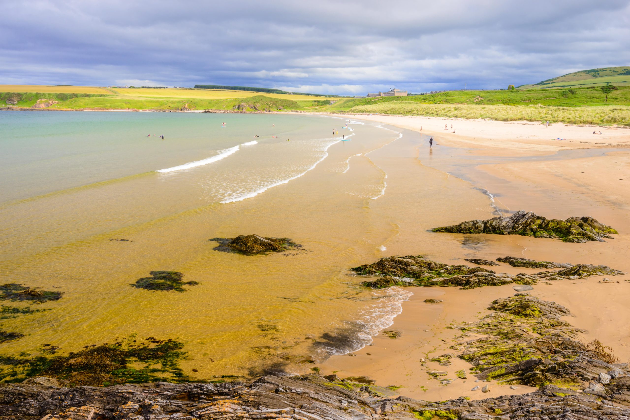
Explore the coast or help shape what comes next
Choose the path that suits you: find places to visit now, or discover how your knowledge, time or support can help The Doric Way grow.
Jine in an fin oot mair!